
Rameswaram → Kanyakumari
Kanyakumari from Rameswaram — distance, route and what to see
The two ends of the deep south make a natural pair. Here is the drive, the timing and the sights at land’s end — and how to string them into one unhurried circuit.
Plan your yatra — free quote
We reply within 2 hours.
Kanyakumari — the southernmost tip of mainland India, where the Bay of Bengal, the Arabian Sea and the Indian Ocean meet — sits an easy day’s drive from Rameswaram. Together they make one of the most rewarding short pilgrimages in the south.
The route and distance
- Distance
- ~300–320 km by road
- Drive time
- ~6–7 hours, mostly via NH-32
- On the way
- Pamban Bridge off Rameswaram island; the coastal plains of the deep south
What to see at Kanyakumari
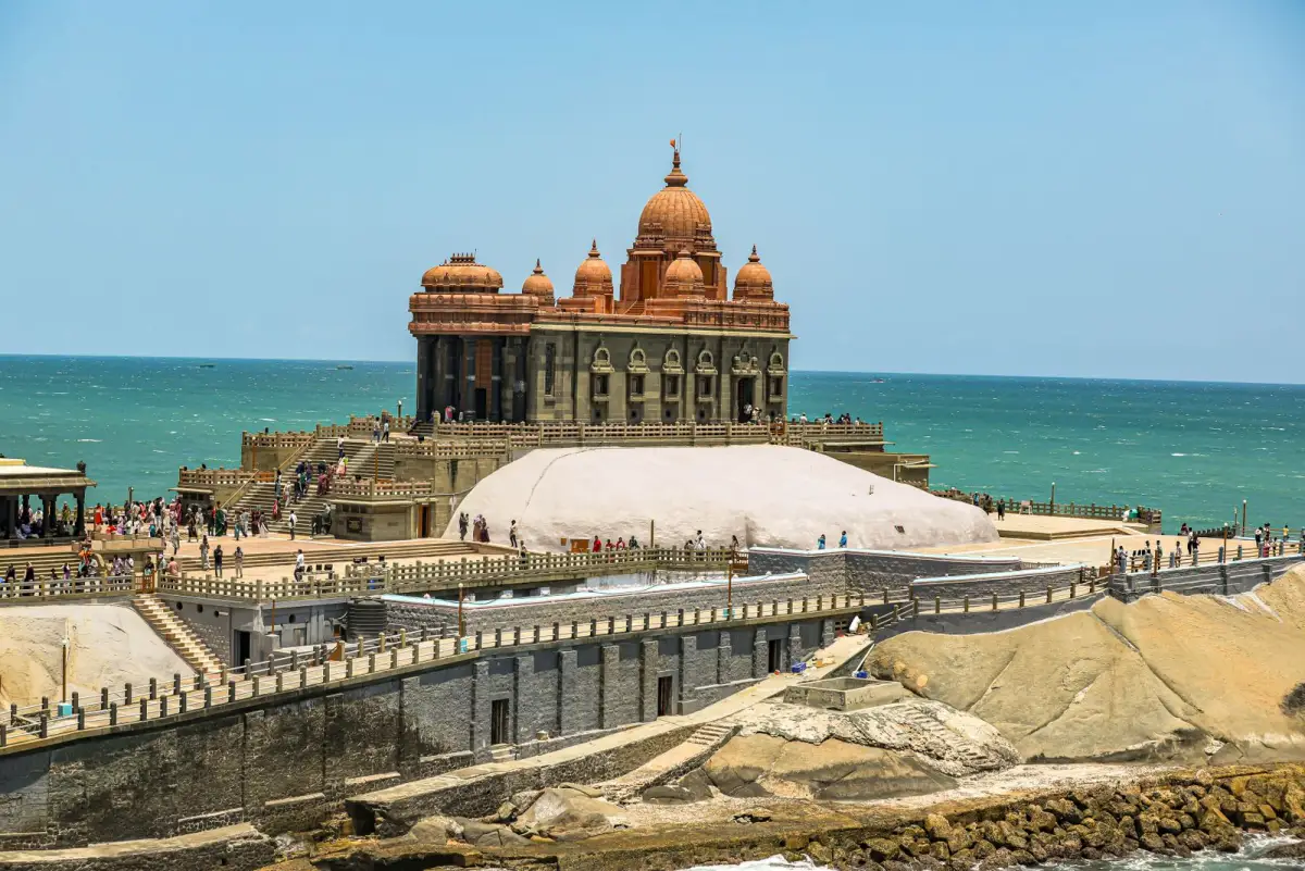
- Vivekananda Rock Memorial — on a rock about 500 m offshore, reached by the government (Poompuhar) ferry.
- Thiruvalluvar Statue — the 133-ft stone statue of the Tamil poet-saint on the adjacent island (the 133 ft marks the 133 chapters of the Thirukkural).
- The three-seas confluence and the famous sunrise and sunset over the ocean.
Doing both together
The neat way to travel is Rameswaram first — the Jyotirlinga darshan and Dhanushkodi — then the scenic drive south to Kanyakumari for the sunrise and the rock memorial. Our 3-, 4- and 5-day packages do exactly this with a private AC car.
Plan this trip
Let a local team handle the details.
Share your dates and group size — we’ll send a day-wise plan and the full tariff. Replies within two hours.
FAQ
Questions & answers.
Related